Saturday 9 March 2019
Chimney Corner, Three Hummock Island
AND
Friday 8 March 2019
At sea – West Coast Tassie

Our stay in Macquarie Harbour, Strahan and the Gordon River was all too brief. But the weather patterns and forecasts for the next week made it clear that if we didn’t make a move up the coast in the next 24 hours, we’d be stuck here for a week. The predicted succession of nor-westers and big seas making any later move, a very wet and uncomfortable thing. Herein lies one of the big differences between racers and cruisers … cruisers can pick and choose their weather, while racers take what they are given at the appointed time.
As it was, the nor-wester kept blowing for the first half of the day, making our trek back up the Macquarie Harbour, (once we exited the Gordon River), to the Hell’s Gate, a steady, slow experience.
After five hours plugging into the elements, we finally dropped anchor inside the entrance to Macquarie Harbour, at a place called the Back Channel in about 3 metres of water.


Our task now was to await the predicted sou-wester; our time filled in with sleeping, relaxing and preparing.
Whilst the wind-change would be going our way, the one thing that DID give us cause for concern were the 4-6 metre swells left behind after 2-3 days of strong, on-shore winds. (A quick look online showed that the maximum swell for the day off the nearby Cape Sorell had been 8 metres !)
Big swells are one thing, but the thing that gave us confidence was that the 1-2 metres of breaking seas – which effectively add to the height of the swells – were predicted to quickly diminish,as the wind change-swept through.
Then as if someone had flicked a switch, the change came through. One minute Chimere was tugging at her anchor in a north westerly direction, the next we had swung around to the south west.


“The change has come through” said John quietly as he walked down the centre corridor past my cabin.
It was 4:30pm and by 5:30 we were passing through Hells Gate and out onto our chosen course, the breaking seas on the Kawitiri Schoal to starboard and the long seawall on the port. For the first few miles the advancing swells looked ominous as they rose up before us in the shallows seas, but as time went by and the sea deepened, the steady rise and fall took on a predictable feel.
Our destination on this leg of the journey would be Hunter and Three Hummock Islands, forming what is referred to on the chart as “The Fleurieu Group” located off the north West corner of Tasmania. Reaching these islands would officially mark the beginning of the homeward leg. It was a place I’d visited before – with Matt, James and Eva – back in January 2015, and it was a place I was keen to visit again.
But first we had to get through the next 22 hours, half through the night and half through the day in conditions that were MUCH better than the trip up from Port Davey, but still pretty average.


Whilst the south westerly wind change formed the key part of the forecast, it also mentioned “variable winds”. And the further up the coast we travelled it became clear that we were moving from the West Coast Region to the North West Coast Region. It might be just 50-100 miles on the chart, but the difference was pronounced, including a return to north-westerly winds for a time, then pouring rain, then north-easterly winds, then westerly for a time, before settling back into the south-west. All the while the south west swell, which peaked at around 8 metres according to that day’s records off Macquarie Harbour, kept rolling on; albeit in a diminished form.
Our good ol Perkins motor was our companion for the duration, enabling us to maintain a constant 5.5 to 6.0 knots at all times.
The depth of the seas along the coast averaged around 80-100 metres and our depth sounder confirmed this with the numbers changing roughly in line with the contours on the chart. Then John calls out … “the depth has gone to 14 metres … check the chart plotter for depths … are we going into shallow water?!”
I looked at the depth sounder and sure enough we were reading 14 metres. I looked at the chart plotter screen and the actual depth was around 95 metres and NO sign of the words … “INADEQUATELY SURVEYED”
“Oh, hang on, it’s gone back to 100 metres … 98 … 96 … it’s back to normal?
Naturally our thoughts began speculating as to WHY the depth sounder had given a strange reading of 14 metres … then 10 minutes later it happened again, reading 15 metres, followed a short time later with 17 metres.
“It’s a Chinese submarine passing under us” … said Ray in a confident voice
“What about a whale, maybe it was a whale passing under us ?”
“Or a school of fish?”
One thing I could almost 100% guarantee is that depth sonder was, and is, working correctly. The mystery remains … and we’re nowhere near Kettering?!
The night dragged on, as it does, but with only a few bursts of activity – when stronger than normal wind gusts hit, or when the wind died altogether and it was necessary to roll up the jib – mercifully, there was time to get some serious sleep between watches.

As we drew closer to the north west tip of Tassie, known appropriately as Cape Grim, the wind died off completely and the swell, which was probably still in the 2-3 metre range, became just a steady rise and fall, briefly propelling us forward at 7 knots, then holding us back to 4 or 5 knots soon after. All the while our buoyancy helping us to ride like a floating bird.
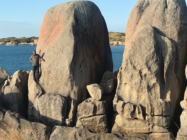
By early morning we were negotiating the winding track of Hunter Passage, then it was up the coast of Hunter Island to our chosen anchorage – Chimney Corner, off the group of buildings that sit at the south-west corner of Three Hummock Island.


Unlike most windswept islands of Bass Strait, and there are probably more than 100 of them, people actually live on Three Hummock – it even has a Facebook page, airstrip and B&B, making it a wonderful place to enjoy a remote “island experience” – fly in and fly out. (While we were there a photographic group had booked the accommodation and were documenting the sights)
The first thing on our agenda after dropping anchor, was to have a sleep, after which John, Isabel and I went ashore for a walk and to meet the caretakers.
The weather from the north east was warm and settled and the anchorage, which can sometimes be rolly, was up to our usual calm standards. Wandering around the settled corner of the island there was a 100-year-old building that once served as a telegraph station, old sheds and a homestead now used as a B&B accommodation, a wharf in need of repair, plus kangaroos and Cape Barren Geese wherever you looked.
Back on board we enjoyed another still and peaceful night with a clear sky and sparkly stars closing off another wonderful day at sea. But after the previous night’s activities afloat we slept very soundly to be sure.


On the communications front, I managed to score “three bars” on the iPhone, enabling me to make emails and upload information to this website, but only if I first hung the device upside down from a string in the middle of the cockpit?!
With our sights set on “home”, our next objective will be to explore the local region tomorrow before grabbing the next “weather window” north to King Island.
Smooth seas, fair breeze and catching the wind
Rob Latimer
